Walking tours
The most popular hiking routes are presented below. In addition to the mentioned routes, there are, of course, many more routes suitable for walking, hiking, and hiking.
Practically all localities bordering the central Hargita mountain range have footpaths, and sometimes also tourist signs. However, after the 1995 wind disaster, they were renovated in only a few places, so we recommend even experienced hikers to use the detailed Székelyföld map.

Hike to the Madarasi-Hargita peak or the Szökő waterfall
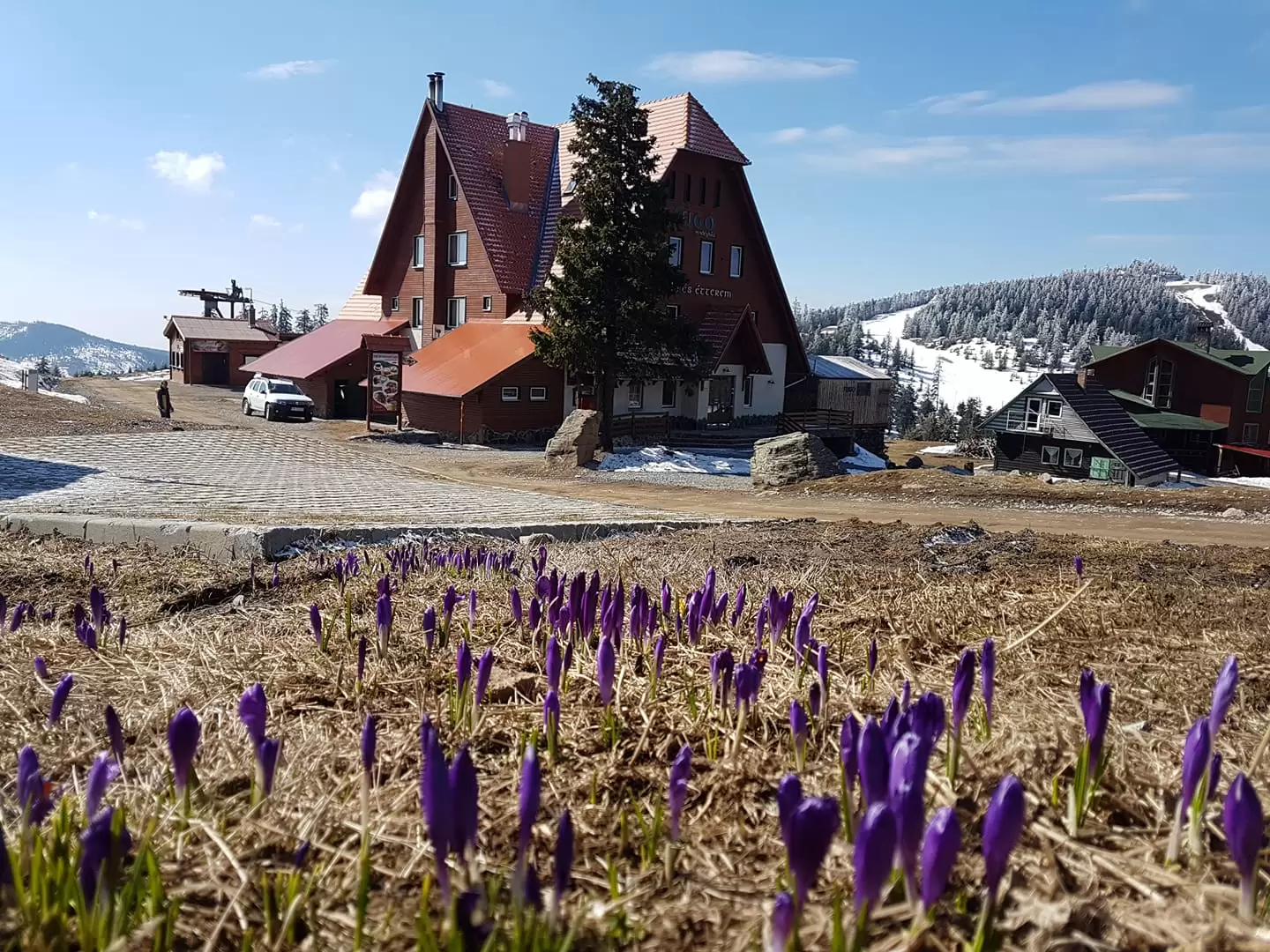
Starting on the path next to the shelter (which also leads to the summit), we go up to the saddle. On the left hand side of the wide clearing is the path leading to the summit, on the right hand side you can clearly see the signposts leading to Hargitafürdő. We cut ahead (keeping slightly to the right) through a wide clearing called the Rákosi-sáté, then pass a grove of trees and reach a pine forest. From here we descend following the flow of the stream until we reach the waterfall. About an hour's drive. This route can also be reached by crossing the sign behind the Pethő Panzió. When you reach the clearing, take the path to the top to the left, and the marked path to the waterfall to the right.
Ridge hike to Hargitafürdő (approx. 3-4 hours)
Starting on the path next to the shelter, we arrive at the saddle. Turning to the right, we continue in a wide clearing, following clearly visible metal tourist signs. Moving on changing terrain, we first pass under the peak of Rákosi Hargita (1756 m), then pass the peaks of Madéfalvi and Csicói Hargita to arrive at Hargita bath. From the direction of the road, we can turn left first to Csíkrákos, following the tourist signs, and then to Madéfalvá along the stream. The journey takes 3-4 hours, depending on your strength. In winter, the passability of the road and the travel time vary depending on the snow conditions and the weather.

Madarasi Hargita - Libán-teto (9 hours, 25 km)
Starting from the shelter, in a NW direction on the Filió forest road , turn right at the hunting lodge after 800 m. At the western foot of Madarasi Hargita , we pass through a well-trod shepherd's path and a beautiful pine forest to the Kőkereszt clearing . There is also a shepherd's house here. From there, we go northwest through a beautiful pine forest on the western edge of the Nagy-Madarasi craters to the highest point (1427 m). We covered 6 km from the tourist house to here in 2 and a half hours.
A little further north from here is a small clearing, then we take a big turn to the right on the edge of the crater and after 3 km, we reach the tourist road 4A - Nagy-Madarasi marked with a blue cross (which leads to the hunting lodge). Here, we are actually already in the Fertő Saddle on the Diznó-Lápos towards the northeast to the Fertő-Tető (1589 m) .
From here, we continue for another 3 kilometers from the roof through beautiful pine forests to the western edge of Vigyázókő and after 1 km we reach the path that leads to Ördög Lake . After another 1 km from here, we arrive at the joining of the Lok- vize hiking trail marked with a blue cross. Then we climb to the clearing to the Veresbükk lookout . From there, heading northwest and then west through pine and beech woods, we arrive at the two shepherds' houses, from where we have traveled one and a half kilometers from the lookout point.
We pass through more beech trees to the Nagy Libán-tetö clearing , where we leave two shepherd's houses behind. After 5 km from the lookout point, we arrive at the Libán-tető on the DJ 138 road, where the Főgerinc hiking trail ends.

